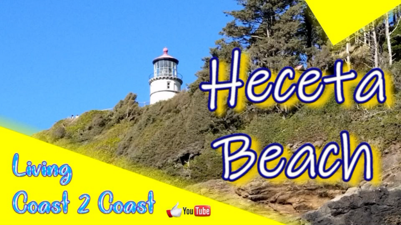
Heceta Beach is a great little beach with a great view of the Heceta Beach Lighthouse.
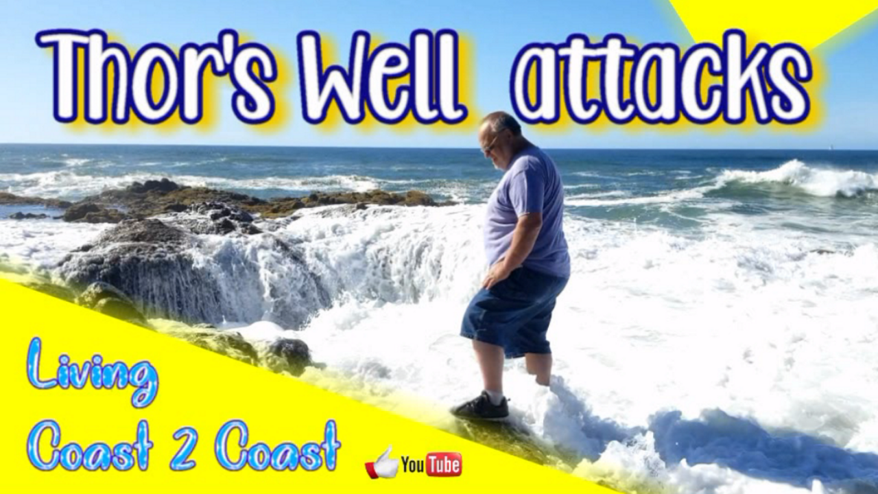
We had a fun time climbing on the rocks and Dad got wet when the waves splashed up.
Come join as we laugh at Dad.
This is part of our Season 3 Part 2 and was filmed in the second half of 2019.
Heceta Beach and Lighthouse Scenic Viewpoint
https://stateparks.oregon.gov/index.cfm?do=park.profile&parkId=86
91773 Oregon Coast Hwy, Florence, OR 97439
GPS coordinates: 44.135022, -124.123728
https://goo.gl/maps/enuznr8X5MjhKqGq7

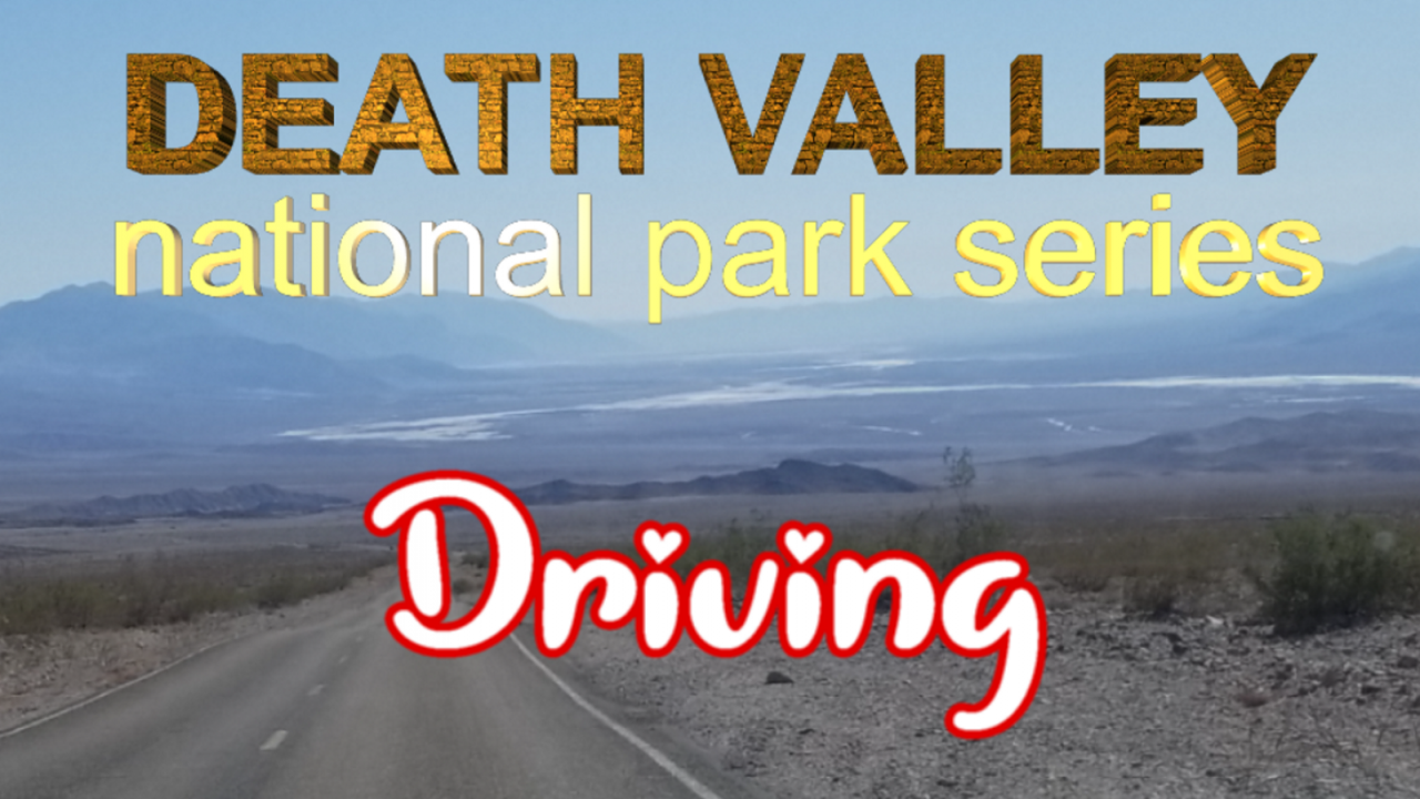
Death Valley National Park is the hottest, driest, and lowest National Park. It holds the record temperature of 134 degrees and Badwater Basin is the lowest point in North America at 282 feet below sea level.
Quoted from the nps.gov website “In this below-sea-level basin, steady drought and record summer heat make Death Valley a land of extremes. Yet, each extreme has a striking contrast. Towering peaks are frosted with winter snow. Rare rainstorms bring vast fields of wildflowers. Lush oases harbor tiny fish and refuge for wildlife and humans. Despite its morbid name, a great diversity of life survives in Death Valley.”
This video simply shows part of the drive between popular scenic locations. We created 6 other videos of these scenic locations. Pleas check them out as well.
This is part of our Season 3 Part 2 and was filmed in the second half of 2019.
Death Valley National Park
https://www.nps.gov/deva
GPS coordinates: 36.330788, -116.832230
https://goo.gl/maps/Szk1ki64FMV9ooTz7

We spent most of the day at Thor’s Well and Cook’s Chasm on the coast of Oregon. The waves splash against the rock spewing high into the sky. Thor’s well is basically a blow hole where water enters from underneath and blows out of the top.
Join us as we explore.
This is part of our Season 3 Part 2 and was filmed in the second half of 2019.
Thor’s Well Trailhead
https://www.atlasobscura.com/places/thor-s-well
2343 Oregon Coast Hwy, Florence, OR 97439
GPS coordinates: 44.278222, -124.111661
https://goo.gl/maps/hXii1M8bA4Kz78bi7

The Devil’s Golf Course was named after the 1934 National Park Service guide book to Death Valley National Monument stated that “only the devil could play golf” on its extremely serrated surface.
The saltpan was once a deep lake that has disappeared. While the saltpan at Badwater periodically floods, then dries, Devil’s Golf Course lies in a part of the Death Valley salt pan that is several feet above flood level. Without the smoothing effects of flood waters, the silty salt at Devil’s Golf Course grows into fantastic, intricately detailed pinnacles.
This is part of our Season 3 Part 2 and was filmed in the second half of 2019.
Devil’s Golf Course – Death Valley National Park
https://www.nps.gov/thingstodo/check-out-devils-golf-course.htm
https://www.nps.gov/tripideas/death-valley-must-see-spots-in-1-3-hours.htm
GPS coordinates: 36.285799, -116.824829
https://goo.gl/maps/sQrSdLNCDWhN8sSk6
