Meet Kristofer Travels https://www.youtube.com/channel/UCcWVFGmQV60JZ44nUFdiD6A
Information and/or fun while living the RV lifestyle.
This week was FUN.
First, we stayed at Craggy Wash BLM camping spot, so we could go to the London Bridge. The London Bridge is located in Lake Havasu City. Dad, Amber, and I (Kaylla) walked all the way to the other side and back. Amber and I got our certificate that says we crossed the bridge and made it back. I am so happy that we went to this place and I will never forget.
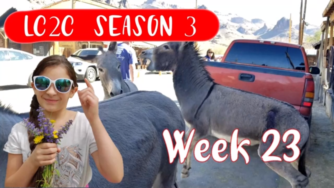
Next stop was Oatman, AKA Donkey Village. This place is “flooded” with donkeys. There is a lot of history everywhere in this “town” and we love history. You can feed the adult donkeys but you can not feed the baby donkeys. They do gun fights on some days, I forgot what days but they do them. They have many shops like ice cream, souvenirs, even old fashioned ones.
Thank you for coming with us on this trip.
London Bridge
https://www.golakehavasu.com/london-bridge
1340 McCulloch Blvd.
Lake Havasu City, AZ 86403
GPS coordinates: 34.471561, -114.347627
Oatman, Arizona
https://www.desertusa.com/oatman/du_oatman.html
GPS coordinates: 35.024827, -114.382357
Craggy Wash BLM Land Camping
GPS coordinates: 34.471561, -114.347627
Today, we did something very different than we usually do.
Amber and I (Kaylla) wanted to make a video and we had lots of no good boxes laying around. So we had the idea “let’s make a wall and knock it down with our bikes”.
We each knocked down the wall 2 times and 1 time “Amber fell”.
Then we got bored of putting the wall up every 2 seconds so we made a floor of the boxes and ran that over 100 billion times.
If you ask me, we had so much fun doing it.
If you are looking to do this I would wear a helmet so you don’t lose your brain.
Now we don’t have so many boxes in our camper. Don’t worry, we trashed the boxes after we just needed to smash them first. This is our way of smashing a box down flat.
As I said “That is one way to silence a box”.
This week was another busy week.
Dad “surprised” Elizabeth with B.Brian Preserve. You might be wondering what is this “B.Brian Preserve”. Well, I have the answer to your question, its a place with zebras, antelope, and giraffes 🦒. The place is breeding these animals to re-introduce them to Africa.
Then we slowly make our way to Glass Beach. Rumor has it you can’t keep the glass from the beach. History time children, so a bunch of people were throwing trash and glass on this beach 50 years ago. The water pulled the glass and stuff out and when it “spit” it back out it would hit the rocks and some how smooth the edges of the glass so now you can walk on it and not cut yourself.
Then we moved onto, One Log House. In my opinion, you would have to worry about mold and stuff but it was cool. It is just like a tiny house or a tiny RV with no slides.
B. Brian Preserve
130 Riverside Dr.
Point Arena, CA 95468
https://www.bbryanpreserve.com/
GPS coordinates: 38.911071, -123.689553
Glass Beach
Fort Bragg, CA 95437
https://www.californiabeaches.com/beach/glass-beach/
GPS coordinates: 39.452170, -123.809695
Lake Tahoe Sand Harbor Beach
2005 NV-28
Incline Village, NV 89452
http://parks.nv.gov/parks/lake-tahoe-nevada-state-park
GPS coordinates: 39.198231, -119.928396
One Log House
705 US-101
Garberville, CA 95542
https://www.oneloghouse.com/
GPS coordinates: 40.009837, -123.790202
Point Arena Sea Lion Cove
Point Arena, CA 95468
GPS coordinates: 38.952216, -123.738103
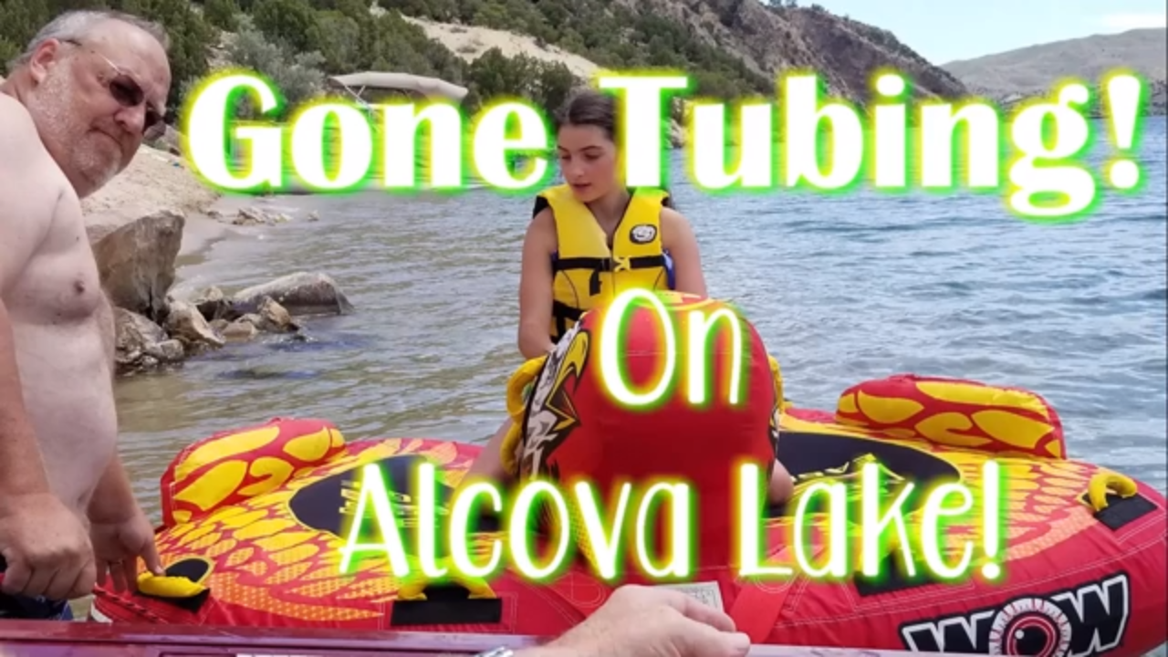
Today we are hanging out with Dad’s cousin Paul and he took us to Alcova Lake! We also had the pleasure of trying something new…Tubing! Amber was the only one, besides Dad, who actually went tubing. It was a super fun day and we all enjoyed it! We will definitely have to go tubing again!
Alcova Reservoir
Alcova, Wyoming 82620
GPS coordinates: https://youtu.be/U7WZCYzWMss
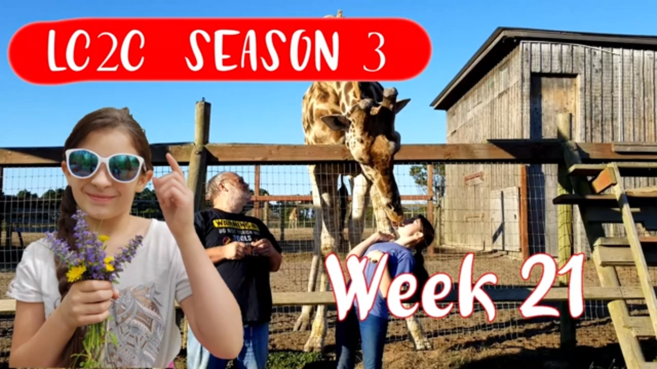
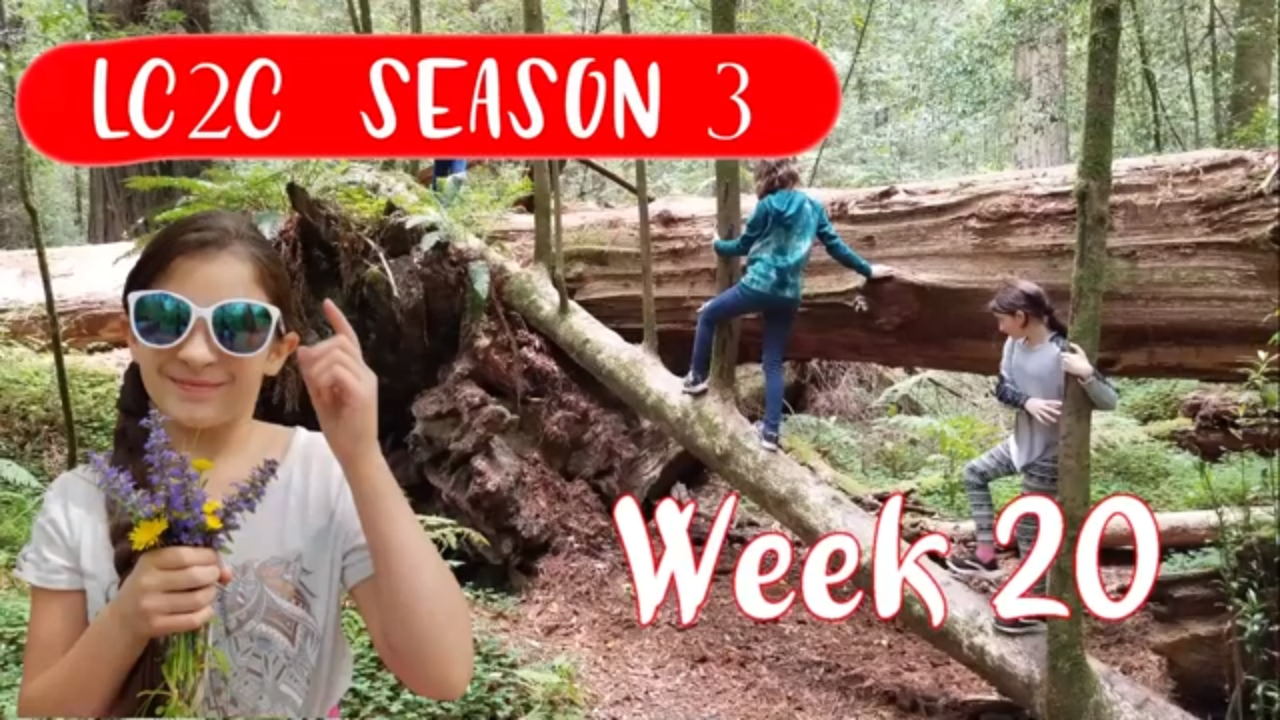
This week was a busy week.
First, we went to Avenue of the Giants. This place was full of HUGE Redwoods trees to be exact. We even bought a Sequoia redwood to take home to plant. We even played Tarzan lol. I only know of one Redwood tree and that’s the Sequoia. Knowing me, I was probably told but I forgot lol. I gotta say, Avenue of the Giants you didn’t let us down.
Later that week we went to Trees of Mystery. This place was really cool. We took a tram up to the top deck. We could even see the ocean from that deck.
Anyway, we then continue off to Klamath Tour Thru Tree. Now this place was REALLY cool, we can’t fit the truck in there but we manage to get part of the front of it in there.
As we continue down the road we went to this “cheese place” (a cheese factory). There are so many different cheeses out there I didn’t even know about.
Then our last destination was the cemetery. From what it looked like, the people there were from like the 1800s.
Like I said “this week was REALLY busy”.
Avenue of the Giants North Entrance
Jordan Rd, Scotia, CA 95565
GPS coordinates: 40.441220, -124.031490
Avenue of the Giants South Entrance
Redwood Hwy, Myers Flat, CA 95554
GPS coordinates: 40.179965, -123.779772
Trees of Mystery
15500 US-101
Klamath, CA 95548
https://www.treesofmystery.net/
GPS coordinates: 41.584745, -124.086052
Klamath Tour Thru Tree
430 CA-169
Klamath, CA 95548
GPS coordinates: 41.521310, -124.031495
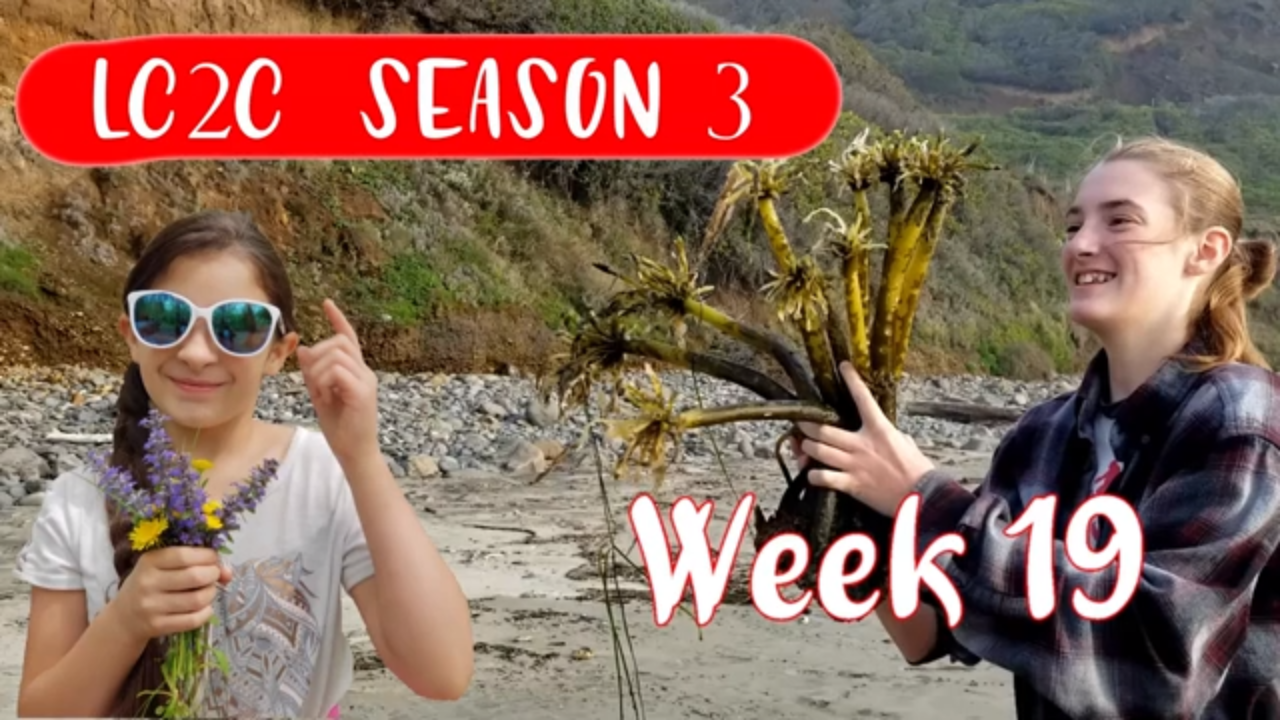
First, we went to the Sea Lion Caves.
This place was really cool looking at all the sea lions.
I loved this place so much I even drew a “cowboy sea lion” when we got back to the house.
Then we moved on to the Depoe Bay whale watching place.
We even caught a tail on video… yay.
The boat ride was really cool, we got to not only see whales but jellyfish too.
We also took a stop by West Coast Game Park Safari.
We got to feed and pet many different animals.
I got a kick outta watching the bears wave when you shake your food cone at them.
The campgrounds were clean and quiet.
The Alder Dune Campground was basically empty. There was no one but us, the camp host, and one other person.
The Cape Blanco Campground filled up really fast every night but that aside, this was a really nice campground.
Sea Lion Caves
91560 US-101
Florence, OR 97439
http://www.sealioncaves.com/
GPS coordinates: 44.121697, -124.126500
Dockside Charters (whale watching)
270 Coast Guard Dr.
Depoe Bay, OR 97341
https://www.docksidedepoebay.com/
GPS coordinates: 44.808927, -124.059311
West Coast Game Park Safari
46914 US-101
Bandon, OR 97411
https://www.westcoastgameparksafari.com/
GPS coordinates: 43.009971, -124.415096
Alder Dune Campground
89630 US-101
Florence, OR 97439
https://www.recreation.gov/camping/campgrounds/234502
GPS coordinates: 44.069567, -124.100625
Cape Blanco Campground
91814 Cape Blanco Rd.
Port Orford, OR 9746
https://oregonstateparks.org/index.cfm?do=parkPage.dsp_parkPage&parkId=44
GPS coordinates: 42.831719, -124.549972
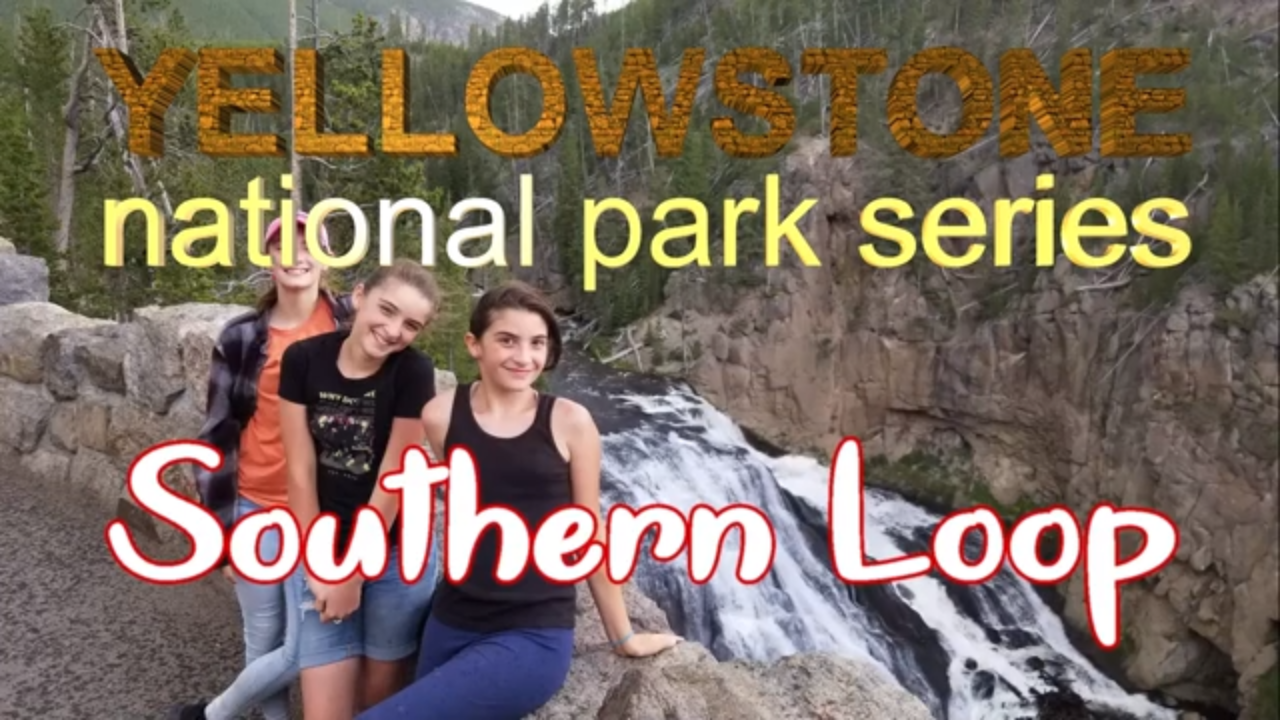
Today we are visiting the Yellow Stone National Park Southern Loop. This loop contains Old Faithful, Gibbon Falls and other cool things. The southern loop is probably my favorite part of Yellowstone. It has a lot of waterfalls and trails as well. It is very beautiful like the rest of the park.
And in the words of Jupiter:
fufirhighrigrwp;eofhghurwirghriwoqy3teiwow40itrgjrojgirjeojrejgesrjghreiaglr
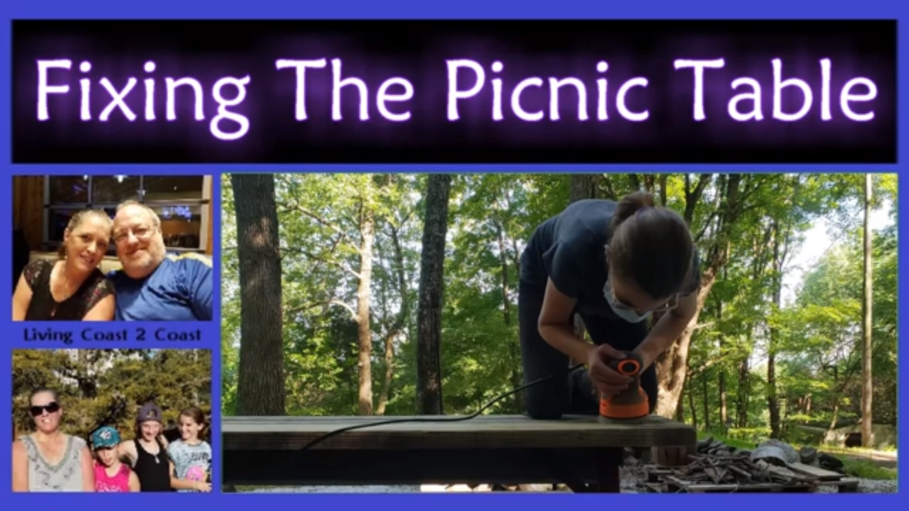
Today was a different day. We stained our picnic table.
The color Amber chose was Chestnut brown. It kinda went on as a chocolate brown though.
We first sanded the table and then put some older clothes on and stained it.
We only stained the top, the sides, and the seats. We didn’t stain under the table.
We are staying at Denny Creek Campground in Washington. We had Verizon and AT&T service which is always good.
We also took the time to walk down into Franklin Falls. The hike was almost 2.5 miles round trip. There are bathrooms at the beginning of the trail so you might wanna go then because there are not any further down the trail. The trail down into the falls was not that hard but it is not wheelchair accessible. When you get close to the falls the trail turns into a narrow rock ledge.
You could get right up to the falls but we didn’t get in the water and swim. We stayed at the edge of the pool at the bottom.
Wings Over Washington was really cool. I would definitely do that again.
The Volunteer Park was cool. I liked climbing on the trees and chasing squirrels around.
The Ferris Wheel on the pier was really cool. When you get to the top, you get a nice view of Seattle, Washington. Elizabeth wanted to go on the Ferris Wheel but at the top she was a little worried about falling but she still had fun.
Denny Creek Campground
I-90, North Bend, WA 98045
https://www.fs.usda.gov/recarea/mbs/recreation/recarea?recid=18032&actid=29
GPS coordinates: 47.410703, -121.441587
Franklin Falls
I-90, North Bend, WA 98045
https://www.fs.usda.gov/recarea/mbs/recreation/recarea/?recid=17980&actid=50
GPS coordinates: 47.424739, -121.432585
Triple XXX Root Beer Drive-In
98 NE Gilman Blvd.
Issaquah, WA 98027
http://www.triplexrootbeer.com/
GPS coordinates: 47.537647, -122.035185
Volunteer Park
1247 15th Ave E.
Seattle, WA 98112
http://www.seattle.gov/parks/find/parks/volunteer-park
GPS coordinates: 47.628958, -122.314781
Wings Over Washington
1301 Alaskan Way
Seattle, WA 98101
https://www.wingsoverwa.com/
GPS coordinates: 47.606277, -122.342067
The Seattle Great Wheel (Ferris Wheel)
1301 Alaskan Way
Seattle, WA 98101
http://seattlegreatwheel.com/
GPS coordinates: 47.606281, -122.342415
