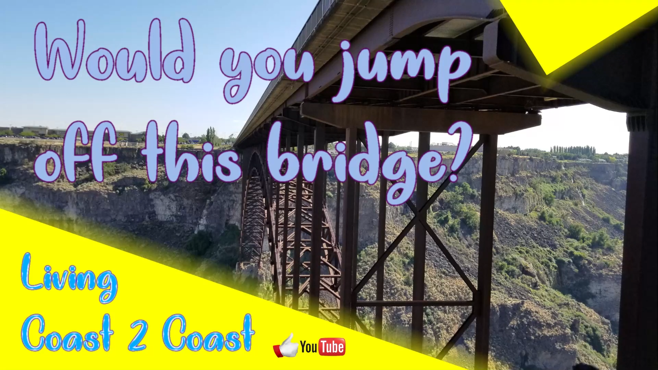
I personally would not jump off a bridge that is more than a few feet high. The girls say that that would love it. Even though we did not jump off, we did enjoy looking at the beauty of the bridge from underneath.
The Snake River Canyon is magnificent with steep walls in most places. Just west of the bridge is a golf course at the bottom of the canyon. East of the bridge around the bend is apparently where the daredevil Evil Knievel tried to jump the Snake River Canyon in 1974.
The bridge has a parking area on each side on the north end as well a walkway to get underneath. This makes it easy to view the bridge from underneath.
We visited several spots along the canyon and some of those appear in other videos.
This is part of our Season 3 Part 2 and was filmed in the second half of 2019.
Perrine Memorial Bridge
https://visitidaho.org/things-to-do/roadside-attractions/perrine-bridge
https://visitsouthidaho.com/guided-canyon-rim-trail/locations/perrine-bridge
Jerome, ID 83338
GPS coordinates: 42.601389, -114.453386
https://goo.gl/maps/f7NWU1t2j3Y5goha9
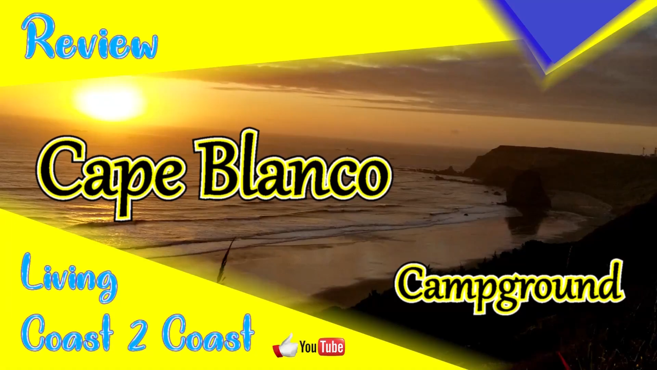
We are so glad that we decided to stay at Cape Blanco State Park Campground. We chose it based on the distance from our last stop and the fact that there is a lighthouse. It so beautiful.
There is a beach access point but it is a long walk. We drove to the beach but could not get our big truck past the rocks and driftwood in order to drive on the beach. We could have made it but our truck is too long to make the tight turns. Hehe… we tried.
The campground is very nice and most of the sites have privacy. Several sites will allow larger campers with ease. Each site has electric and water but no sewer. The only negative part is that the dump station is permanently closed. It is an older system that no longer meets California guidelines. You can dump at Humbug Mountain State Park that is not too far away south.
Cape Blanco State Park Campground
https://stateparks.oregon.gov/index.cfm?do=park.profile&parkId=44
91814 Cape Blanco Rd, Port Orford, OR 97465
GPS coordinates: 42.832149, -124.549346
Humbug Mountain State Park
https://stateparks.oregon.gov/index.cfm?do=park.profile&parkId=40
Port Orford, OR 97465
GPS coordinates: 42.688219, -124.433148
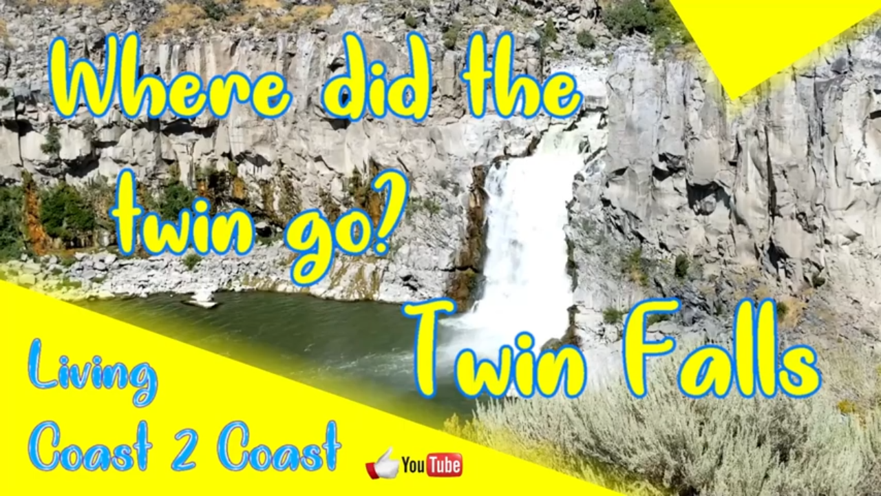
There was once a double waterfall at this location. But no more. In the early 1900s, one side was blocked off in order to build a hydroelectric powerplant. We were hoping to see the twins but could not.
This is part of our Season 3 Part 2 and was filmed in the second half of 2019.
Twin Falls Park
https://www.idahopower.com/community-recreation/recreation/parks-and-campgrounds/twin-falls-park
Kimberly, ID 83341
GPS coordinates: 42.58887, -114.35695
https://goo.gl/maps/eZwyvaSFf5awqUv8A
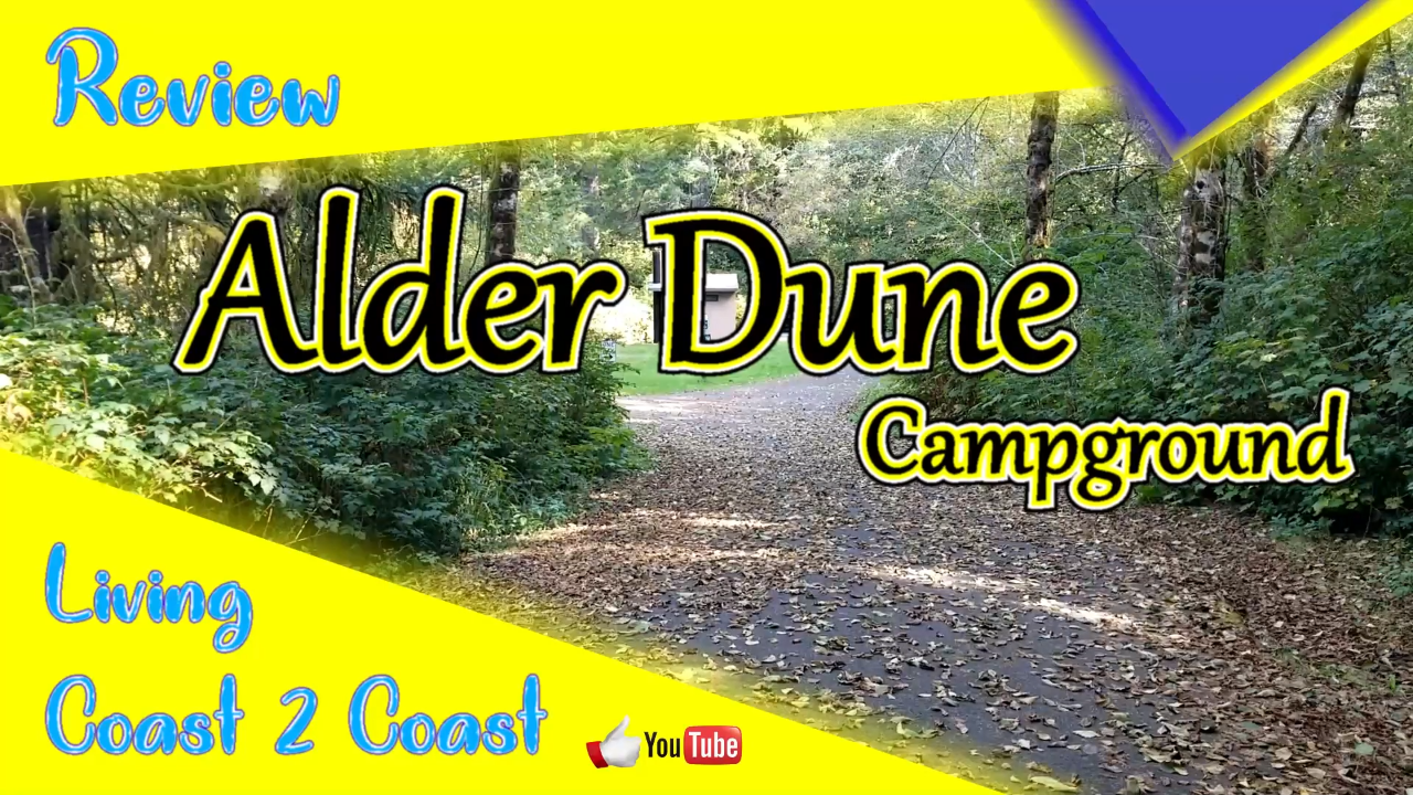
We found Alder Dune Campground in the Siuslaw National Forest and thought it would be near some sand dunes along the coast. Well, it all depends on how you define “near”. In this case, the campground has a 2 mile trail that leads to the dunes and the shoreline. We drove into Florence to access the beach.
The campground was really quiet. We were there at the end of the season. There were quite a few day use visitors daily especially on the weekend.
The location is great if you are wanting to visit any of the nearby tourist locations or want to drive along the coast. The views are amazing.
Alder Dune Campground
https://www.recreation.gov/camping/campgrounds/234502
89630 US-101, Florence, OR 97439
GPS coordinates: 44.068691, -124.101543
