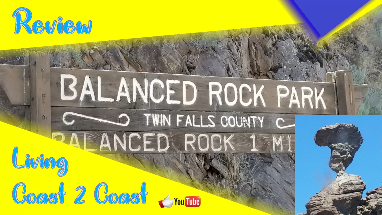
The Balanced Rock Park is an awesome find in the middle of nowhere. We were literally driving through flat farm land and these rocks appear in the near distance barely visible. The road starts winding and going down and further down.
All of a sudden, a gorgeous canyon appears and there is a park at the bottom. And this park allows free camping for 30 days out of a 30 day period. Of course, it’s dry camping also known as boondocking. No electric, water, or sewer hookups. There is only a couple of spots that a medium to larger rig can set up. That is the only drawback. We did stay the full 7 days allowed.
This is part of our Season 3 Part 2 and was filmed in the second half of 2019.
Balanced Rock Park
http://www.twinfallscounty.org/parks/parks/balanced-rock-park
Balanced Rock Rd, Buhl, ID 83316
GPS coordinates: 42.540549, -114.951020
https://goo.gl/maps/fapPkcLk5SdD1mqMA

Denny Creek Campground is located in the Mt. Baker-Snoqualmie National Forest and is nestled between the eastbound and westbound sides of Interstate 90 in Washington state.
The creek is really nice and Dad and the girls walked to 1.5 mile trail to Franklin Falls which was gorgeous. There will be a separate video for the hike.
The campground does not have many sites that will fit larger trailers. Some sites have 30amp electric available even though the website days it is 15amp.
Walk with Dad on a tour of the campground.
If you are interested in the Water Bandit mentioned in this video.
Use our Amazon affiliate link at any time.
Denny Creek Campground
http://www.fs.usda.gov/recarea/mbs/recreation/recarea?recid=18032&actid=29
I-90, North Bend, WA 98045
GPS coordinates: 47.411157, -121.441768

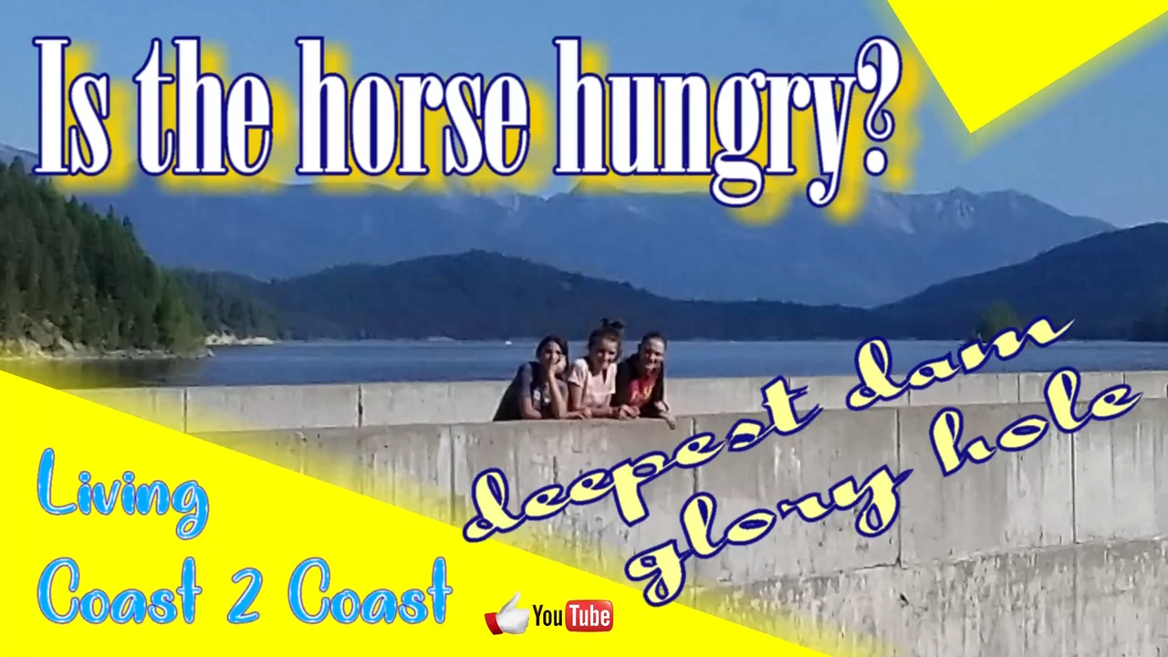
We checked out the Hungry Horse Reservoir. We found a spot where we could drive down next to the water. The rocks were so colorful.
We then went over to the Hungry Horse Dam. It is tenth tallest dam in the United States and the third tallest curved dam. It is over 500 feet tall so you know the water is deep. It features a glory hole for when the water level gets too high. The water will flow into the glory hole and drop 490 feet straight down.
Check out the video and let us know what you think.
This is part of our Season 3 Part 2 and was filmed in the second half of 2019.
Hungry Horse Dam
https://www.nps.gov/articles/montana-hungry-horse-dam.htm
https://www.usbr.gov/pn/hungryhorse
Martin City, MT 59926
GPS coordinates: 48.34155, -114.01422
https://goo.gl/maps/5VjRFc2GxUBQn8CJA
Place we played around:
GPS coordinates: 48.331603, -113.955119
https://goo.gl/maps/vZpxNsSryH4J1vqh6

Early Winters Campground is located in the Okanogan-Wenatchee National Forest and is very close to the east side of North Cascades National Park. However, we did not go into the National Park from here. We just chilled out for a few days and enjoyed the peace and quiet.
If you are looking for campgrounds to stay while visiting North Cascades National Park, we recommend that you watch one of these videos.
https://youtu.be/TCxjGAO2FiM
https://youtu.be/cZTe8ApxZjo
Early Winters Campground
https://www.fs.usda.gov/recarea/okawen/recreation/recarea/?recid=59203
WA-20, Winthrop, WA 98862
GPS coordinates: 48.597494, -120.445944

Montana Vortex and House of Mystery is supposed to have some kind of energy that has special effects on people and things.
Come with us and let us know if you think it is real or not.
This is part of our Season 3 Part 2 and was filmed in the second half of 2019.
Montana Vortex and House of Mystery
http://www.montanavortex.com
7800 U.S, Hwy 2 E, Columbia Falls, MT 59912
GPS coordinates: 48.382337, -114.123003
https://g.page/montanavortex?share
