Living Coast 2 Coast

  • Blog
  • Maps
  • Social Media
  • Help Us
  • Contact Us

Tag Archives: national park series

Hiking Echo Canyon – Chiricahua National Monument

Posted on November 2, 2021 by Rick Posted in Scenery, Sightseeing .

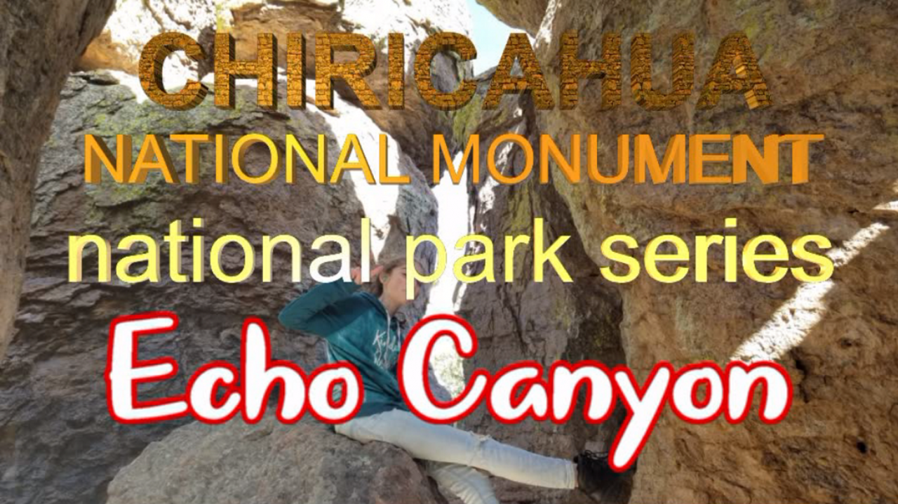
We took a drive to Chiricahua National Monument to do a hike in Echo Canyon. This was a moderate hike and is not handicapped accessible.

Join us by watching the video and taking in the magnificent sites in the desert.

This is part of our Season 3 Part 2 and was filmed in the second half of 2019.

Echo Canyon Trailhead – Chiricahua National Monument
https://www.outdoorproject.com/united-states/arizona/echo-canyon-loop-trail
GPS coordinates: 32.011692, -109.315658
https://goo.gl/maps/mbahU49aPnf4HYCv7

Chiricahua National Monument Visitor Center
https://www.nps.gov/chir
12856 E Rhyolite Creek Rd, Willcox, AZ 85643
GPS coordinates: 32.004739, -109.355819
https://goo.gl/maps/hHyRkzbskWjaS8qZ6


Tags: adventure, chiricahua national monument arizona, chiricahua national monument chiricahua, echo canyon hike, echo canyon trail, echo canyon trail chiricahua national monument, fulltime RV living, hiking echo canyon, home on wheels, home school, living coast 2 coast, living coast to coast, livingcoast2coast, national park series, national parks, road warriors, RV life, RV living, tiny house, tiny house living, vaction .

Driving Thru Chiricahua National Monument

Posted on October 26, 2021 by Rick Posted in Scenery, Sightseeing .

We took a drive to Chiricahua National Monument to do a hike in Echo Canyon (separate video). The drive was so pretty that we had to share it by itself.

This is part of our Season 3 Part 2 and was filmed in the second half of 2019.

Chiricahua National Monument Visitor Center
https://www.nps.gov/chir
12856 E Rhyolite Creek Rd, Willcox, AZ 85643
GPS coordinates: 32.004739, -109.355819
https://goo.gl/maps/hHyRkzbskWjaS8qZ6


Tags: adventure, chiricahua national monument arizona, chiricahua national monument chiricahua, driving Chiricahua National Monument, fulltime RV living, home on wheels, home school, living coast 2 coast, living coast to coast, livingcoast2coast, national park series, national parks, road warriors, RV life, RV living, tiny house, tiny house living, vaction .

Bajada Loop – Saguaro National Park

Posted on October 19, 2021 by Rick Posted in Scenery, Sightseeing .

The Bajada Loop at the west side of the Saguaro National Park is mostly a one-way single lane dirt road with amazing views of this cactus forest. Join us in the video as we explore.

This is part of our Season 3 Part 2 and was filmed in the second half of 2019.

Bajada Loop – Saguaro National Park
https://www.nps.gov/sagu
https://www.nps.gov/sagu/planyourvisit/gettingaround.htm
GPS coordinates: 32.268869, -111.215744
https://goo.gl/maps/VgtjUtFBAx7iGHbn6


Tags: adventure, bajada loop drive tucson, bajada loop saguaro national park, fulltime RV living, home on wheels, home school, living coast 2 coast, living coast to coast, livingcoast2coast, national park series, national parks, road warriors, RV life, RV living, saquaro national park arizona, saquaro national park saquaro, tiny house, tiny house living, vacation .

Saguaro National Park

Posted on October 12, 2021 by Rick Posted in Scenery, Sightseeing .

Today, we visit the Saguaro National Park near Tucson, Arizona. The park is split into a west and an east side. We are visiting the west side. The Saguaro National Park is basically a cactus forest.

Join us as we explore this very unique national park.

This is part of our Season 3 Part 2 and was filmed in the second half of 2019.

Saguaro National Park – Red Hills Visitor Center
http://www.nps.gov/sagu
2700 N Kinney Rd, Tucson, AZ 85743
GPS coordinates: 32.253992, -111.196997
https://goo.gl/maps/GMuUm1ZmfMUwNvEm7


Tags: adventure, fulltime RV living, home on wheels, home school, living coast 2 coast, living coast to coast, livingcoast2coast, national park series, national parks, road warriors, RV life, RV living, saquaro national park arizona, saquaro national park saquaro, tiny house, tiny house living, vacation .

Rhyolite Ghost Town – Death Valley National Park

Posted on October 5, 2021 by Rick Posted in Scenery, Sightseeing .

Although the Rhyolite Ghost Town is not technically part of Death Valley National Park, it does sit just outside of the park’s eastern entrance headed toward Beatty, Nevada.

There is a small museum located just to the south of the town which has many ghost related statues outside. There is an old train station and a “bottle house” that appear to be maintained.

Oh, the girls attended school at the Rhyolite Schoolhouse. Check it out!

This is part of our Season 3 Part 2 and was filmed in the second half of 2019.

Rhyolite Ghost Town
https://www.nps.gov/deva/learn/historyculture/rhyolite-ghost-town.htm
Beatty, Nevada 89003
GPS coordinates: 36.899786, -116.830156
https://goo.gl/maps/aK2TwNJGFnMFNPyf7


Tags: adventure, death valley, death valley california, death valley national park, fulltime RV living, ghost town, home on wheels, home school, living coast 2 coast, living coast to coast, livingcoast2coast, national park series, national parks, rhyolite ghost town, rhyolite nevada, rhyolite nv, road warriors, RV life, RV living, tiny house, tiny house living, vaction .

Artist Drive – Death Valley National Park

Posted on September 21, 2021 by Rick Posted in Scenery, Sightseeing .

Artist Drive as it is called on the signs or Artist’s Drive as the road is named is a very beautiful drive. There are many colors and variations of colors in the rocks along this drive.

Do not take large vehicles or trailers down this road as it is limited to 25 feet and with good reason.

Join us by watching the video as we make this very scenic drive.

This is part of our Season 3 Part 2 and was filmed in the second half of 2019.

Artist Drive – Death Valley National Park
https://www.nps.gov/thingstodo/tour-artists-drive.htm
GPS coordinates: 36.329969, -116.828165
https://goo.gl/maps/511TgTHfGnuwAP4Q7


Tags: adventure, artist drive, artist drive death valley, artist drive thru, artists drive, artists drive death valley, artists palette death valley, death valley, death valley california, death valley national park, fulltime RV living, home on wheels, home school, living coast 2 coast, living coast to coast, livingcoast2coast, national park series, national parks, road warriors, RV life, RV living, tiny house, tiny house living, vaction .

Harmony Borax Works – Death Valley National Park

Posted on September 14, 2021 by Rick Posted in Scenery, Sightseeing .

Harmony Borax Works was only operated for 5 years from late 1883 to 1888.

Transporting the finished product from deep within Death Valley to market was difficult, and an efficient method was devised. The Harmony Borax operation became famous by using large mule teams and double wagons which hauled borax across the long overland route to Mojave. The image of a “20-mule team” persists to this day and has become the symbol of the borax industry in this country.

The is not much left to see but it was still awesome.

This is part of our Season 3 Part 2 and was filmed in the second half of 2019.

Harmony Borax Works Interpretive Trail
https://www.nps.gov/deva/learn/historyculture/harmony.htm
Furnace Creek, CA 92328
GPS coordinates: 36.480039, -116.873208
https://goo.gl/maps/xeA5DYPtVxbS8BS39


Tags: adventure, death valley, death valley california, death valley national park, fulltime RV living, harmony borax works, harmony borax works death valley, harmony borax works hike, home on wheels, home school, living coast 2 coast, living coast to coast, livingcoast2coast, national park series, national parks, road warriors, RV life, RV living, tiny house, tiny house living, vaction .

Driving in Death Valley National Park

Posted on September 7, 2021 by Rick Posted in Scenery, Sightseeing .

Death Valley National Park is the hottest, driest, and lowest National Park. It holds the record temperature of 134 degrees and Badwater Basin is the lowest point in North America at 282 feet below sea level.

Quoted from the nps.gov website “In this below-sea-level basin, steady drought and record summer heat make Death Valley a land of extremes. Yet, each extreme has a striking contrast. Towering peaks are frosted with winter snow. Rare rainstorms bring vast fields of wildflowers. Lush oases harbor tiny fish and refuge for wildlife and humans. Despite its morbid name, a great diversity of life survives in Death Valley.”

This video simply shows part of the drive between popular scenic locations. We created 6 other videos of these scenic locations. Pleas check them out as well.

This is part of our Season 3 Part 2 and was filmed in the second half of 2019.

Death Valley National Park
https://www.nps.gov/deva
GPS coordinates: 36.330788, -116.832230
https://goo.gl/maps/Szk1ki64FMV9ooTz7


Tags: adventure, death valley, death valley california, death valley national park, fulltime RV living, furnace creek, furnace creek california, furnace creek death valley, home on wheels, home school, living coast 2 coast, living coast to coast, livingcoast2coast, national park series, national parks, road warriors, RV life, RV living, tiny house, tiny house living, vaction .

Devil’s Golf Course – Death Valley National Park

Posted on August 31, 2021 by Rick Posted in Scenery, Sightseeing .

The Devil’s Golf Course was named after the 1934 National Park Service guide book to Death Valley National Monument stated that “only the devil could play golf” on its extremely serrated surface.

The saltpan was once a deep lake that has disappeared. While the saltpan at Badwater periodically floods, then dries, Devil’s Golf Course lies in a part of the Death Valley salt pan that is several feet above flood level. Without the smoothing effects of flood waters, the silty salt at Devil’s Golf Course grows into fantastic, intricately detailed pinnacles.

This is part of our Season 3 Part 2 and was filmed in the second half of 2019.

Devil’s Golf Course – Death Valley National Park
https://www.nps.gov/thingstodo/check-out-devils-golf-course.htm
https://www.nps.gov/tripideas/death-valley-must-see-spots-in-1-3-hours.htm
GPS coordinates: 36.285799, -116.824829
https://goo.gl/maps/sQrSdLNCDWhN8sSk6


Tags: adventure, death valley, death valley california, death valley national park, devils golf course, devils golf course death valley, fulltime RV living, home on wheels, home school, living coast 2 coast, living coast to coast, livingcoast2coast, national park series, national parks, road warriors, RV life, RV living, tiny house, tiny house living, vaction .

Badwater Basin – Death Valley National Park

Posted on August 17, 2021 by Rick Posted in Scenery, Sightseeing .

But it’s a dry heat.

We were lucky that we decided to go to Death Valley National Park in early November. It was just above 70 degrees at Badwater Basin which is 282 feet below seal level. The highest temperature recorded here is 134 degrees. This is the lowest point in North America.

The Salt Flats are covered with salt because all of the water has evaporated.


Death Valley National Park – Badwater Basin
https://www.nps.gov/places/badwater-basin.htm
GPS coordinates: 36.229452, -116.768631
https://goo.gl/maps/abECkmsiGHz5z2wa6


Tags: adventure, badwater basin, badwater basin climate, badwater basin hike, badwater basin in death valley, badwater basin salt, badwater basin water, death valley, death valley national park, fulltime RV living, home on wheels, home school, living coast 2 coast, living coast to coast, livingcoast2coast, national park, national park series, road warriors, RV life, RV living, tiny house, tiny house living, vaction .

Pages

  • Blog
  • Maps
  • Social Media
  • Help Us
  • Contact Us
  • 1
  • 2
  • Next

Pages

  • Blog
  • Maps
  • Social Media
  • Help Us
  • Contact Us

Blog Categories

Monthly Archives

Wordpress

  • Log in
  • Entries RSS
  • Comments RSS
  • WordPress.org
© Living Coast 2 Coast