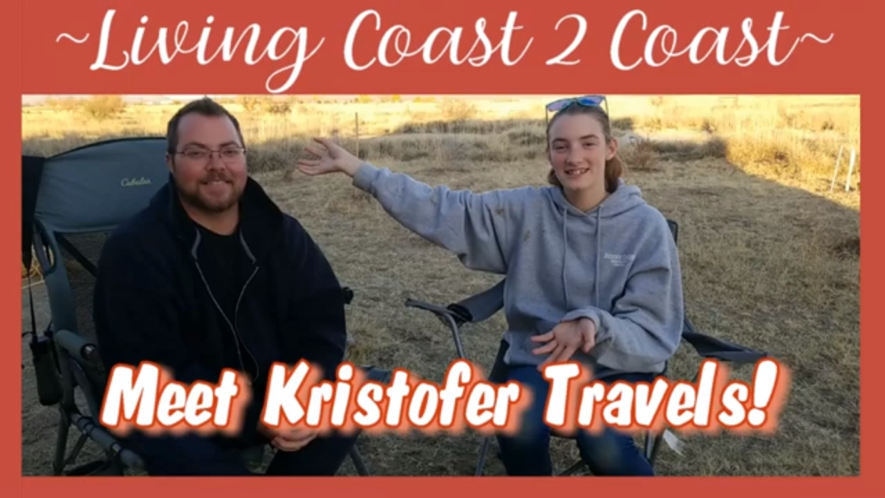
Meet Kristofer Travels https://www.youtube.com/channel/UCcWVFGmQV60JZ44nUFdiD6A
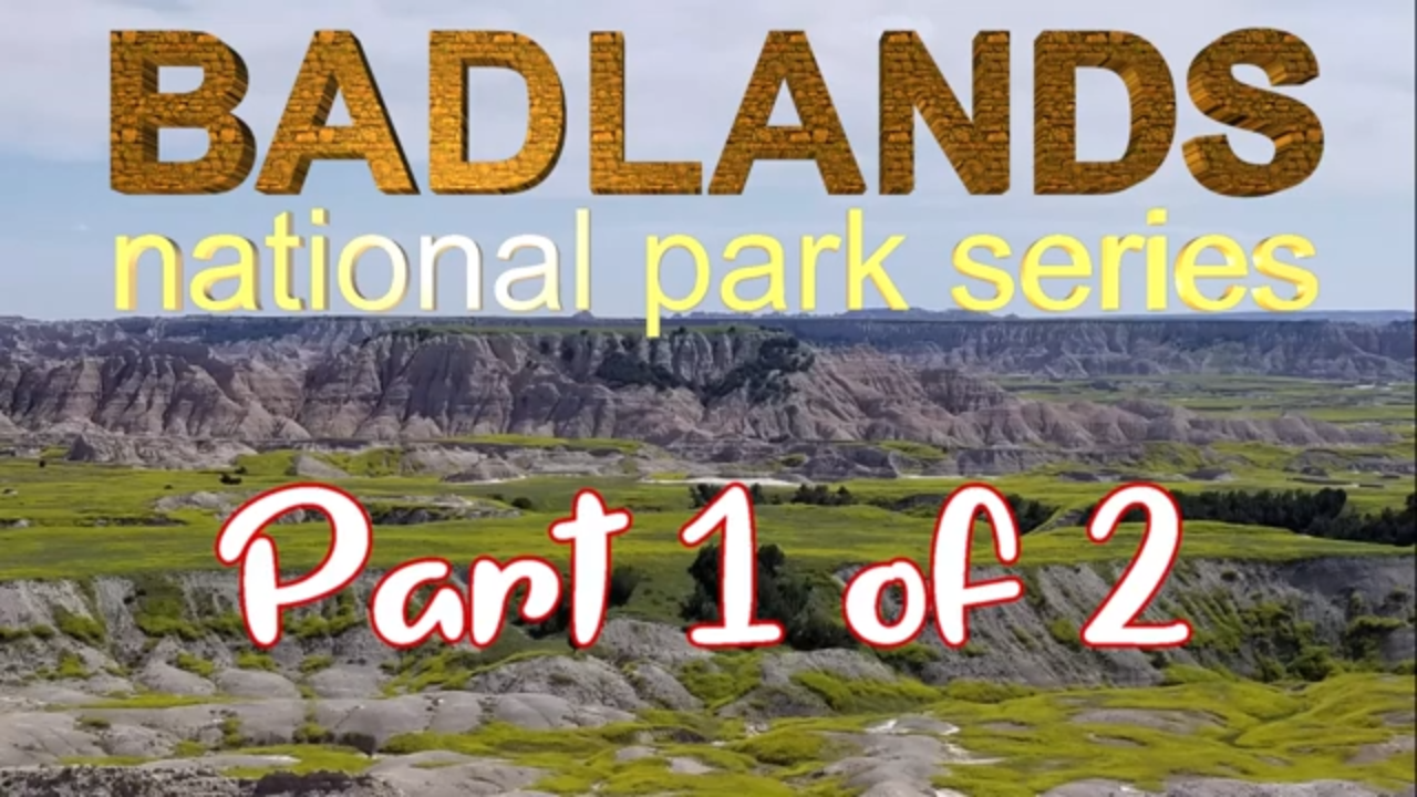
Guess what! We finally made it to the Badlands National Park!
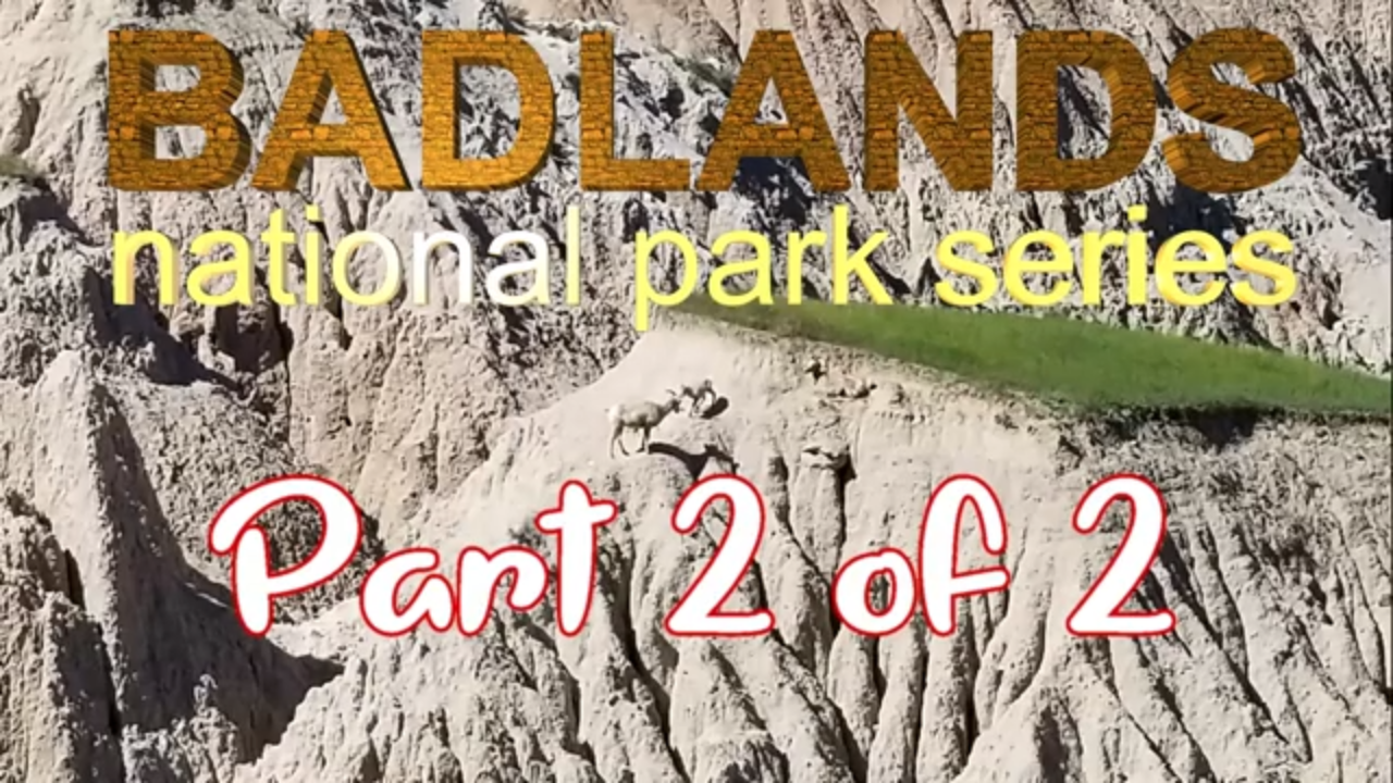
Well there is just about everything to do here in example, there was a lot of Bighorn Sheep “everywhere”. Also there is a lot of trails to hike. I recommend to bring water and hiking boots
This place is really cool and beautiful.
I also recommend taking a drive around and look at what one can see in a matter of hours.
It took us most the day but we were also stopping “every 2 seconds” to look at so many different rocks, caves and, much more.
So if you are around the Badlands area, take a day and go look around.
Oh yeah, I thought would mention there is not a store or town near there so if you are looking to stay get your food and gas before you get there.
Halsey (a singer) did one of her songs here and her Badlands album cover was taken in the Badlands.
There is no words to describe how much FUN we had here in the Badlands National Park.
Thank you Badlands for a good time and a wonderful video lol!
Badlands National Park
South Dakota
https://www.nps.gov/badl/
GPS coordinates: 43.880089, -102.237049
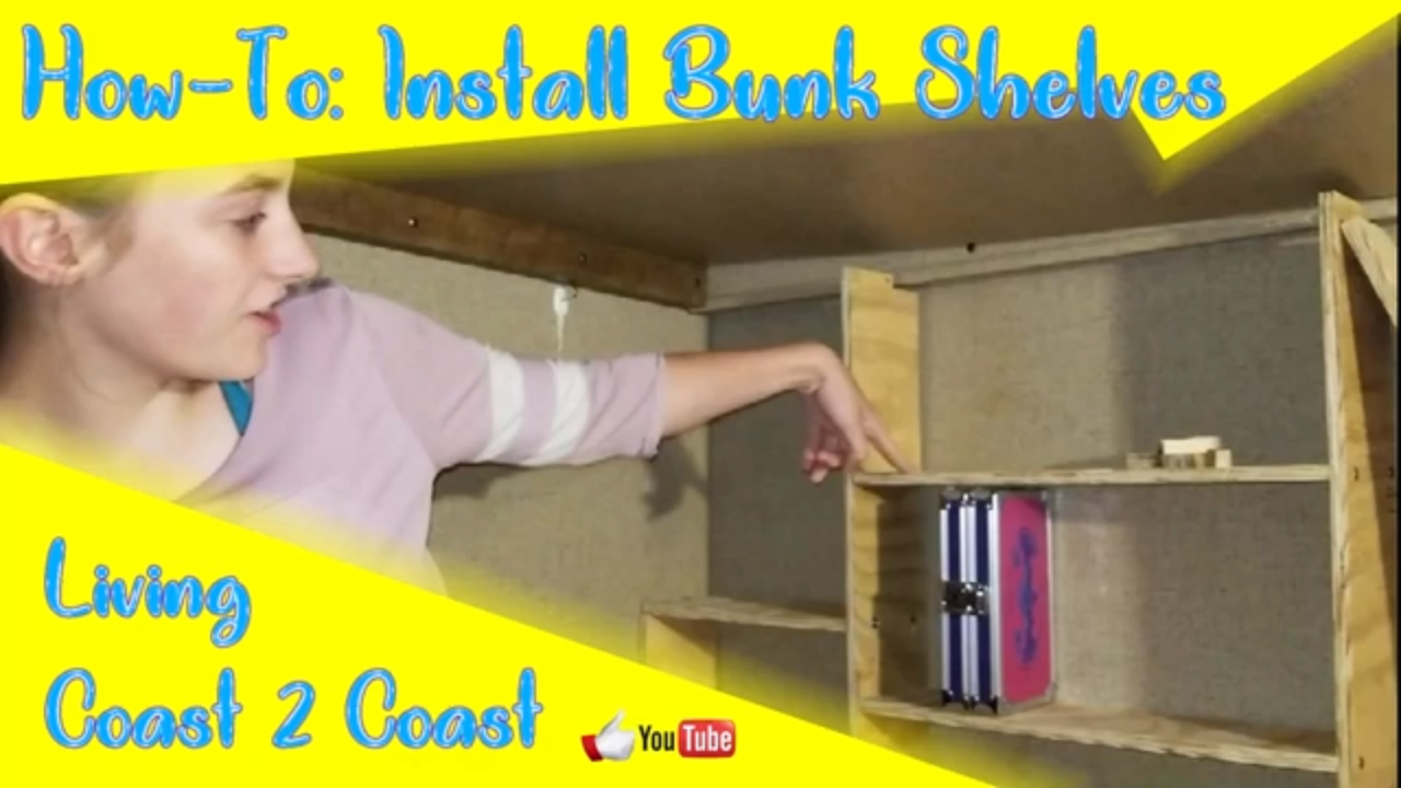
Today, Amber and Rick built some shelves to go along with the new bed they also built. The “bed” Amber used to sleep in was a jack-knife couch which turned into a bed when you folded it down. Amber and Rick took the couch out to build the new bed. They also decided to make some shelves since they had room. The shelves had to be secured to the slide wall, so they didn’t get any “fancy” ideas, LOL! The shelves also couldn’t be very thick or else there wouldn’t have been enough room for the mattress. So with all these things in mind, they successfully built a “functioning” shelf! It is now painted a Granite Grey and holds enough of Amber’s stuff!
Mission: Accomplished
This week was FUN.
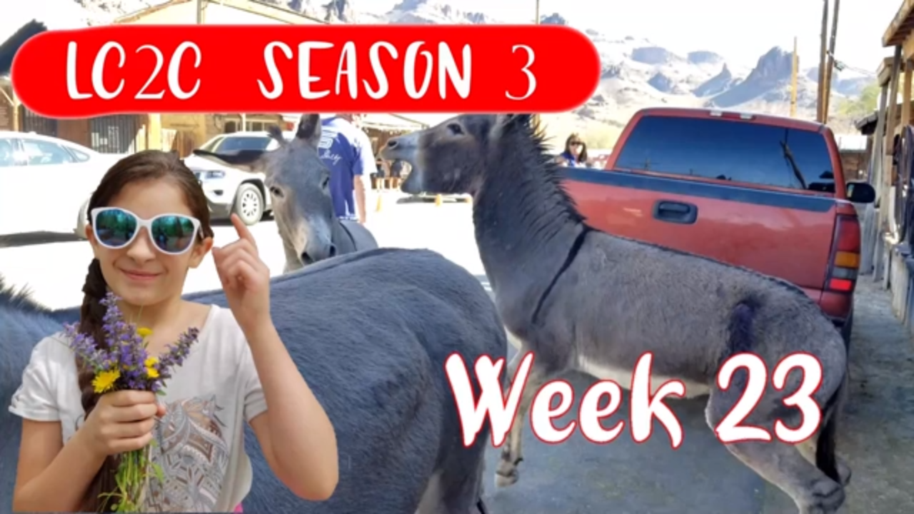
First, we stayed at Craggy Wash BLM camping spot, so we could go to the London Bridge. The London Bridge is located in Lake Havasu City. Dad, Amber, and I (Kaylla) walked all the way to the other side and back. Amber and I got our certificate that says we crossed the bridge and made it back. I am so happy that we went to this place and I will never forget.
Next stop was Oatman, AKA Donkey Village. This place is “flooded” with donkeys. There is a lot of history everywhere in this “town” and we love history. You can feed the adult donkeys but you can not feed the baby donkeys. They do gun fights on some days, I forgot what days but they do them. They have many shops like ice cream, souvenirs, even old fashioned ones.
Thank you for coming with us on this trip.
London Bridge
https://www.golakehavasu.com/london-bridge
1340 McCulloch Blvd.
Lake Havasu City, AZ 86403
GPS coordinates: 34.471561, -114.347627
Oatman, Arizona
https://www.desertusa.com/oatman/du_oatman.html
GPS coordinates: 35.024827, -114.382357
Craggy Wash BLM Land Camping
GPS coordinates: 34.471561, -114.347627
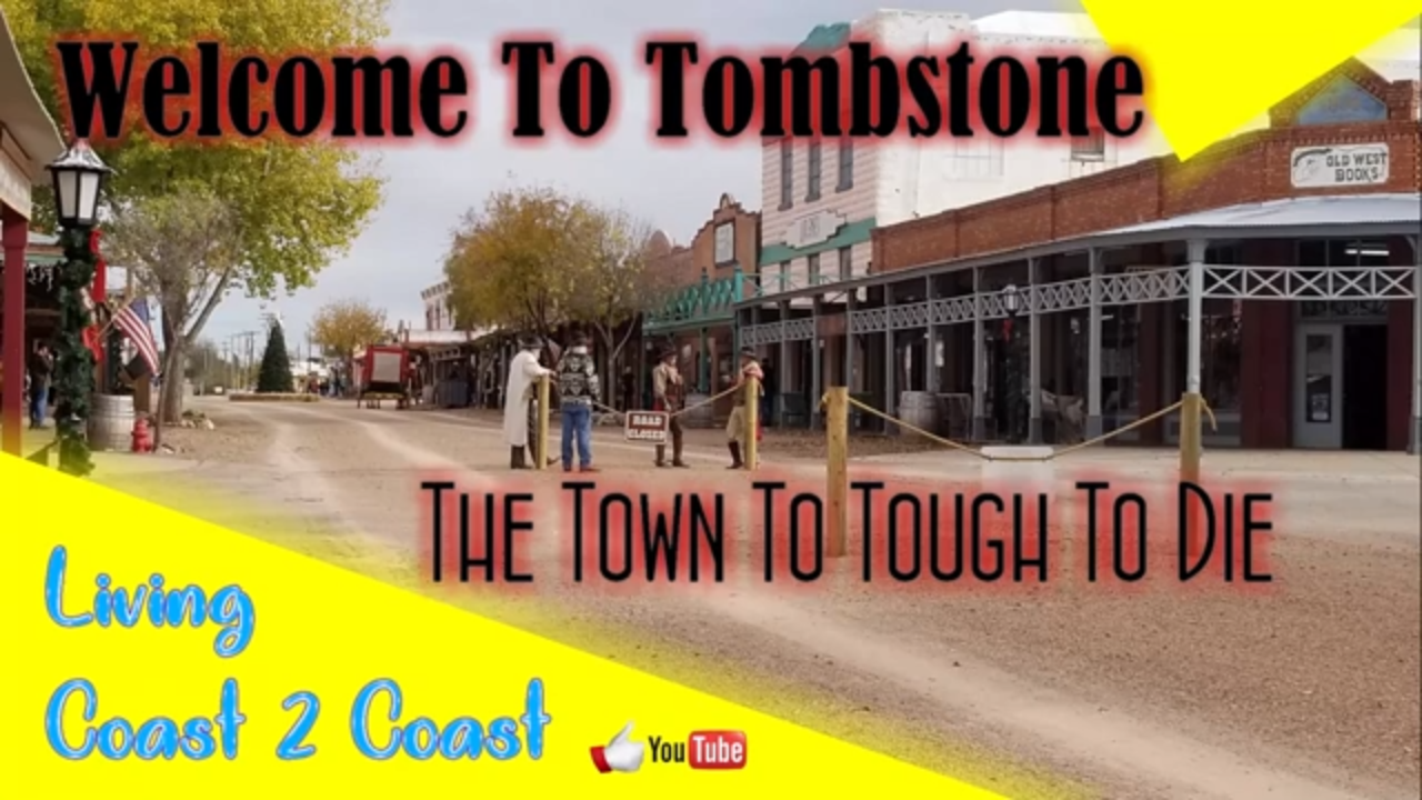
Today, we are taking a blast to the past! We are touring Tombstone, Arizona where the west comes back to life! Tombstone was famous for the shoot out back in 1881, where Doc Holiday and Wyatt Earp took on some cowboys at the O.K. Corral. It is said 30 bullets were fired in 30 seconds! Tombstone is now one of the most visited places in America! It is also one of the most haunted in America because of the murders. Tombstone has everything for everyone is the family! From a visitor center, shops, dining, and even a stage coach tour of Tombstone! It was very fun to visit and can’t wait to go back!
Today, we did something very different than we usually do.
Amber and I (Kaylla) wanted to make a video and we had lots of no good boxes laying around. So we had the idea “let’s make a wall and knock it down with our bikes”.
We each knocked down the wall 2 times and 1 time “Amber fell”.
Then we got bored of putting the wall up every 2 seconds so we made a floor of the boxes and ran that over 100 billion times.
If you ask me, we had so much fun doing it.
If you are looking to do this I would wear a helmet so you don’t lose your brain.
Now we don’t have so many boxes in our camper. Don’t worry, we trashed the boxes after we just needed to smash them first. This is our way of smashing a box down flat.
As I said “That is one way to silence a box”.
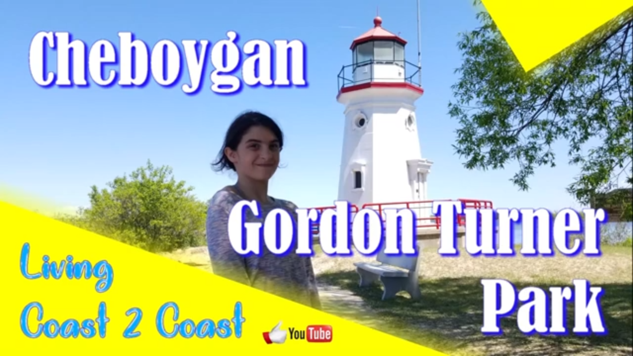
Dad and Elizabeth took a nice stop by Cheboygan Gordon Turner Park.
According to Dad and Elizabeth, this place is “infested” with mosquitoes. They also got some nice lighthouse pictures.
The water at Lake Huron was cold, my toes had “migraines” lol.
I gotta say Lake Huron, you are one pretty cold and cool lake.
Elizabeth and Dad said “if you come in around in June, bring bug spray or some kinda bug repellent”.
There is nothing we didn’t like about Cheboygan and that is the mosquitoes, they were literally everywhere.
Thank you Cheboygan for a good time with the family.
Gordon Turner Park
1101-1183 N Huron St.
Cheboygan, MI 49721
This week was another busy week.
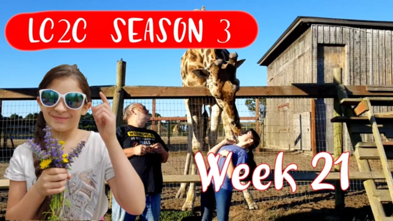
Dad “surprised” Elizabeth with B.Brian Preserve. You might be wondering what is this “B.Brian Preserve”. Well, I have the answer to your question, its a place with zebras, antelope, and giraffes 🦒. The place is breeding these animals to re-introduce them to Africa.
Then we slowly make our way to Glass Beach. Rumor has it you can’t keep the glass from the beach. History time children, so a bunch of people were throwing trash and glass on this beach 50 years ago. The water pulled the glass and stuff out and when it “spit” it back out it would hit the rocks and some how smooth the edges of the glass so now you can walk on it and not cut yourself.
Then we moved onto, One Log House. In my opinion, you would have to worry about mold and stuff but it was cool. It is just like a tiny house or a tiny RV with no slides.
B. Brian Preserve
130 Riverside Dr.
Point Arena, CA 95468
https://www.bbryanpreserve.com/
GPS coordinates: 38.911071, -123.689553
Glass Beach
Fort Bragg, CA 95437
https://www.californiabeaches.com/beach/glass-beach/
GPS coordinates: 39.452170, -123.809695
Lake Tahoe Sand Harbor Beach
2005 NV-28
Incline Village, NV 89452
http://parks.nv.gov/parks/lake-tahoe-nevada-state-park
GPS coordinates: 39.198231, -119.928396
One Log House
705 US-101
Garberville, CA 95542
https://www.oneloghouse.com/
GPS coordinates: 40.009837, -123.790202
Point Arena Sea Lion Cove
Point Arena, CA 95468
GPS coordinates: 38.952216, -123.738103
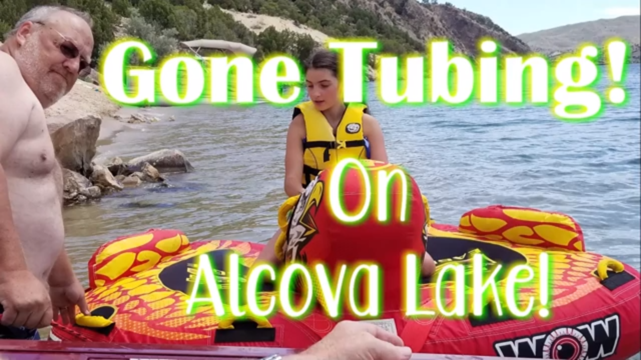
Today we are hanging out with Dad’s cousin Paul and he took us to Alcova Lake! We also had the pleasure of trying something new…Tubing! Amber was the only one, besides Dad, who actually went tubing. It was a super fun day and we all enjoyed it! We will definitely have to go tubing again!
Alcova Reservoir
Alcova, Wyoming 82620
GPS coordinates: https://youtu.be/U7WZCYzWMss
This week was a busy week.
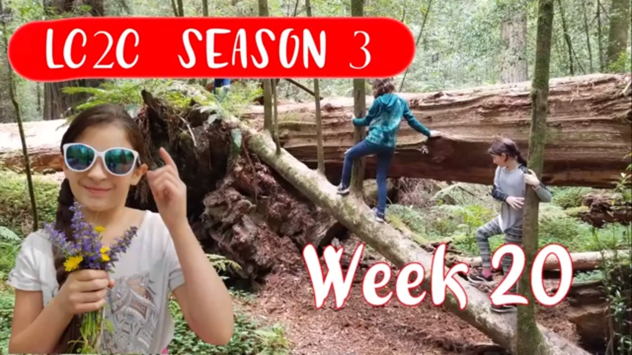
First, we went to Avenue of the Giants. This place was full of HUGE Redwoods trees to be exact. We even bought a Sequoia redwood to take home to plant. We even played Tarzan lol. I only know of one Redwood tree and that’s the Sequoia. Knowing me, I was probably told but I forgot lol. I gotta say, Avenue of the Giants you didn’t let us down.
Later that week we went to Trees of Mystery. This place was really cool. We took a tram up to the top deck. We could even see the ocean from that deck.
Anyway, we then continue off to Klamath Tour Thru Tree. Now this place was REALLY cool, we can’t fit the truck in there but we manage to get part of the front of it in there.
As we continue down the road we went to this “cheese place” (a cheese factory). There are so many different cheeses out there I didn’t even know about.
Then our last destination was the cemetery. From what it looked like, the people there were from like the 1800s.
Like I said “this week was REALLY busy”.
Avenue of the Giants North Entrance
Jordan Rd, Scotia, CA 95565
GPS coordinates: 40.441220, -124.031490
Avenue of the Giants South Entrance
Redwood Hwy, Myers Flat, CA 95554
GPS coordinates: 40.179965, -123.779772
Trees of Mystery
15500 US-101
Klamath, CA 95548
https://www.treesofmystery.net/
GPS coordinates: 41.584745, -124.086052
Klamath Tour Thru Tree
430 CA-169
Klamath, CA 95548
GPS coordinates: 41.521310, -124.031495
